
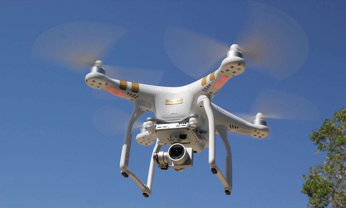
Catawba Regional offers aerial imaging and videography through the use of an Unmanned Aerial Vehicle (UAV), better known as a drone. Our state-of-the-art drone provides sharp clarity through its 4K video and 12 megapixel imaging capability. Click here to see imagery and video from our region.
FAA Certified
Catawba Regional’s UAV pilot is certified under the Federal Aviation Administration’s (FAA) Part 107 regulations. The UAV meets all FAA standards and has full liability insurance.
Drone/Imaging Applications
Uses and benefits of this technology are almost limitless, but here are some examples:
- Land-Use / Transportation Planning
- Structural Safety Inspections
- Realty/Commercial and Residential Real Estate Marketing
- Geographic Mapping (GIS)
- Disaster Management / Search and Rescue /Training Exercises
- Construction Sites / Engineering
- Agriculture Monitoring
- Brownfield and demolition site clean-up
- Events (Social, Sporting, Competitions, etc.)
- Photography for publications
- Utility Right of Way (ROW) Inspections
Pricing
Catawba Regional offers project-based contracting for our local governments in Chester, Lancaster, Union, and York counties. All other projects are priced starting at $95/hour, plus travel time.
Post Processing:
Catawba Regional is able to provide data, picture and video editing and enhancement with the following:
Image enhancement, cropping, editing, logo insertion, placement in other marketing materials or media, etc.
For additional information about Catawba Regional’s Eye in the Sky Drone/UAV Services, please contact Marty Little at 803-327-9041.