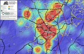
 Catawba Regional produces a wide array of data, information, maps, and models, addressing topics from transportation and land use to demographics and employment, and we have decades of experience using geospatial analysis in support of the organization’s programs and local member data needs.
We use Esri ArcGIS to perform geospatial analysis, data geoprocessing, developing and managing geospatial databases, creating online as well as hard-copy maps, and developing web-based GIS Applications.
GIS Services
Catawba Regional Council of Governments has over 25 years of experience in the GIS field and can provide a wide variety of mapping and analysis needs.
GIS products and services available include:
- Local GIS Administration
- Land Use / Zoning Mapping
- Utility Mapping
- Census and Demographic Analysis
- Site Location Analysis
- Topography and Terrain Modeling
- Network Analysis
- Density and Proximity Analysis
- GPS Base Mapping
- Geocoding
- Web-based Mapping Applications
For additional information on the GIS Services, please contact Marty Little at 803-327-9041.
